
13
Hydrographic & Bathymetric Survey
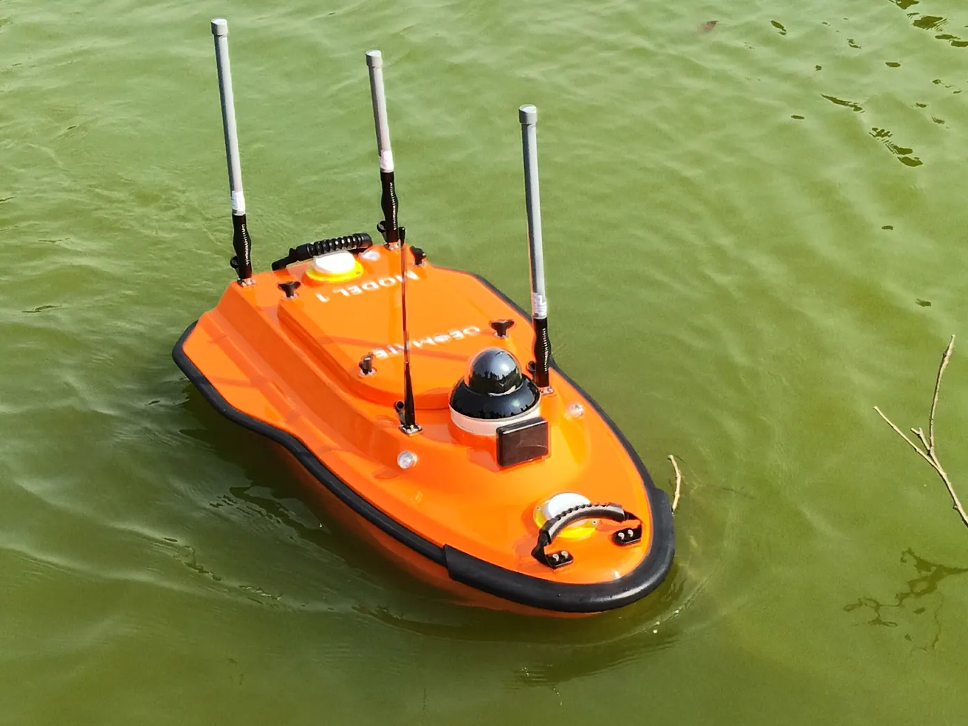
Uncrewed survey vessel (USV) operations to map water depth and underwater terrain in dams, reservoirs, lakes, rivers and tailings ponds. Outputs can include bathymetric surface models, underwater contours and water volume calculations.
Applications
What it's used for
- Dams and reservoirs
- Lakes and rivers
- Tailings and mine-water ponds
- Sedimentation and storage-capacity monitoring
Deliverables
What you receive
Depth soundingsBathymetric surface modelsUnderwater contoursWater volume calculationsMission reports
Sectors
Who it's for
Mining & MineralsPower & UtilitiesGovernmentConstruction & EngineeringEnvironmental & Development
How We Work
Capture, process, analyse, deliver.
01
Capture
Plan safe missions with the appropriate UAV and sensor for the site and objective.
02
Process
Convert raw observations into structured, quality-checked geospatial information.
03
Analyse
Extract measurements, anomalies, volumes and terrain information.
04
Deliver
Hand over practical outputs for engineering, GIS, planning, operations and management.
Related services
View all 14 services
Need Hydrographic & Bathymetric Survey for your project?
Tell us about the site, area and deliverables you need, and we'll plan the mission around them.
Request a quote