
09
Mineral Exploration
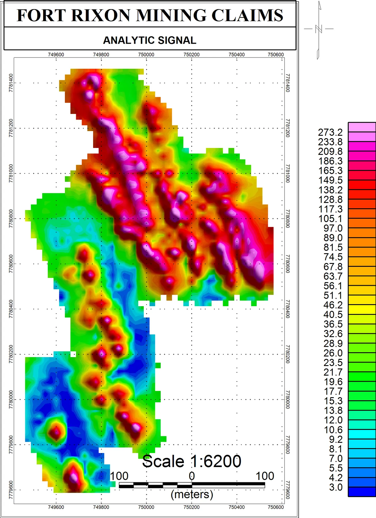
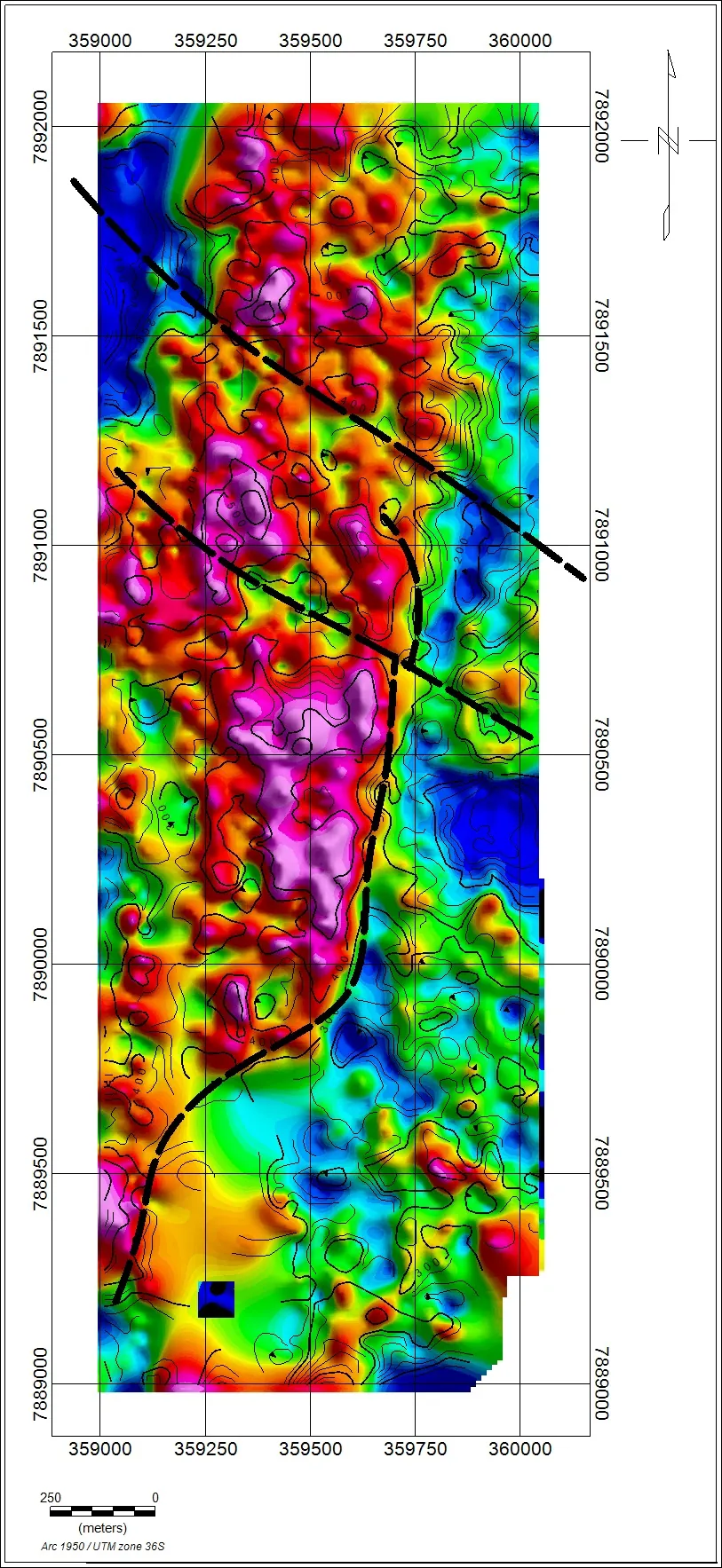
UAV-enabled geological and geophysical data acquisition, including aerial imagery, terrain mapping and compatible geophysical sensor surveys to support exploration targeting.
Applications
What it's used for
- Aerial imagery
- Terrain mapping
- Compatible geophysical sensor surveys
- Exploration targeting
Deliverables
What you receive
OrthomosaicsDTM / DSM / DEMGIS layersMission reports
Sectors
Who it's for
Mining & MineralsGovernment
From Our Projects
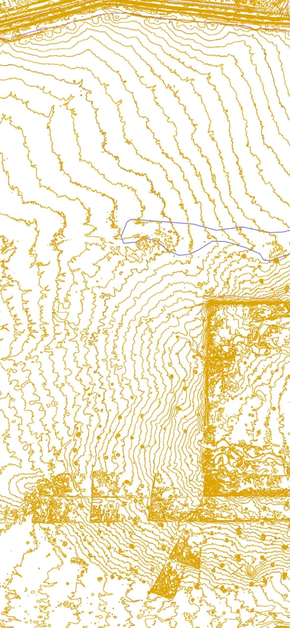
Sample outputs
How We Work
Capture, process, analyse, deliver.
01
Capture
Plan safe missions with the appropriate UAV and sensor for the site and objective.
02
Process
Convert raw observations into structured, quality-checked geospatial information.
03
Analyse
Extract measurements, anomalies, volumes and terrain information.
04
Deliver
Hand over practical outputs for engineering, GIS, planning, operations and management.
Related services
View all 14 services
Need Mineral Exploration for your project?
Tell us about the site, area and deliverables you need, and we'll plan the mission around them.
Request a quote